"How dangerous is extreme heat in your neighborhood? This map tells you"
The Los Angeles Times interviewed Dr. David Eisenman about a heat mapping project lead by two UCLA Fielding School of Public Health centers.
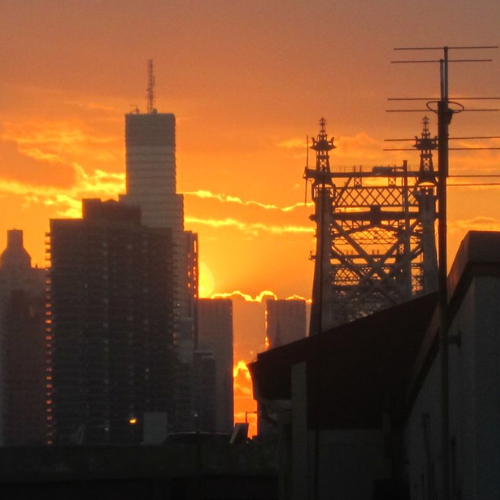
Extreme heat is fueling more than 1,500 excess emergency room visits per “heat day” in Los Angeles County, with some neighborhoods facing far more danger than others, according to a new UCLA mapping tool.
The heat map tracks the number and rate of excess emergency room visits on heat days down to the community level and highlights a stark disparity between wealthier, leafier neighborhoods and those that are home to fewer trees, more concrete and higher occurrences of underlying health issues.
The West Adams neighborhood in South Los Angeles, for example, averages excess emergency room visits at a rate four times that of the Westside neighborhood of Rancho Park — about 3.5 per 10,000 people compared with 0.9, according to the map. Heat days are defined by a combination of factors including temperature, humidity and cloud cover.
Faculty Referenced by this Article


Robert J. Kim-Farley, MD, MPH, is a Professor-in-Residence with joint appointments in the Departments of Epidemiology and Community Health Sciences


Professor of Community Health Sciences & Health Policy and Management, and Associate Dean for Research


Assistant Dean for Research & Adjunct Associate Professor of Community Health Sciences


Director of Field Studies and Applied Professional Training