Google Maps, smartphones play role in addressing environmental inequality, says Dr. Michael Jerrett
Everyday personal use of geolocation technologies, such as Google Maps, encourages a culture of addressing environmental inequalities.
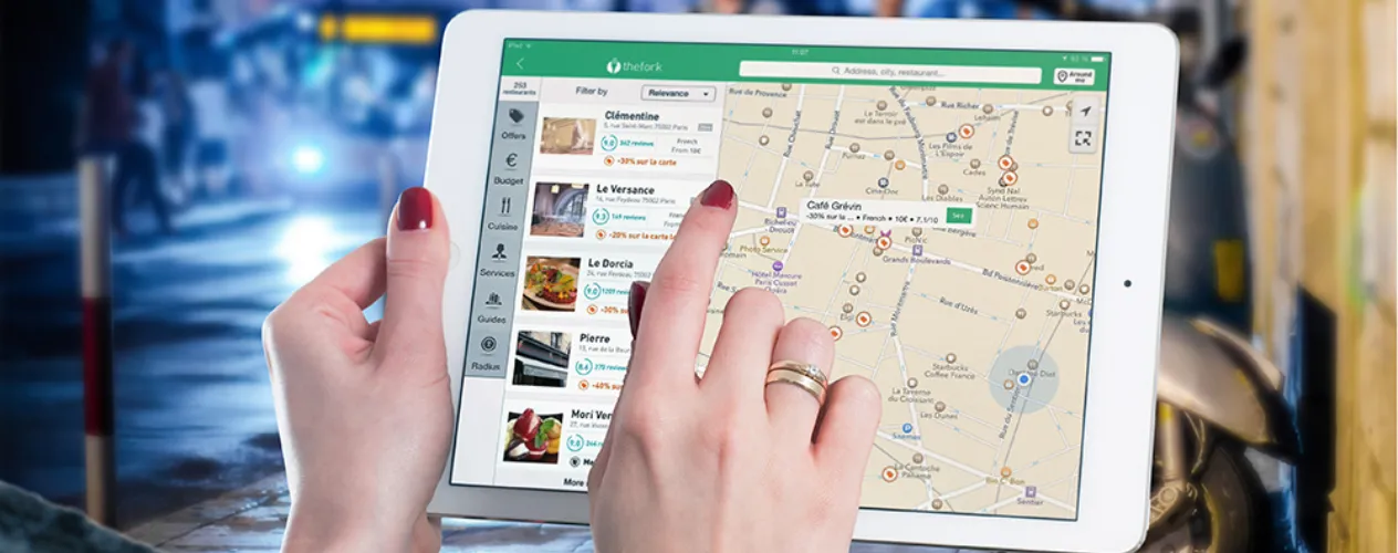
The following excerpt is from a National Institute of Environmental Health Sciences (NIEHS) podcast interview with Dr. Michael Jerrett, professor and chair of the Department of Environmental Health Sciences. The entire interview is available for download on the NIEHS Environmental Health Chat website.
"There are certainly many advances that have occurred, say, in about the past 15 years, that have really helped us to better understand the spatial and temporal dimensions of exposures that are either harmful or beneficial for people’s health.
The importance of Google Maps and other programs is that they are awakening the sort of geographic imagination in many environmental health researchers, who may not have thought of things spatially before, but now, because they have this constant access to an online mapping system, they’re starting to pose questions about how they can use that information to better characterize exposures and outcomes."
Faculty Referenced by this Article

Associate Professor for Industrial Hygiene and Environmental Health Sciences
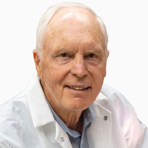
Dr. Hankinson is a Distinguished Professor of Pathology and Laboratory Medicine, and of EHS, and Chair of the Molecular Toxicology IDP

Industrial Hygiene & Analytical Chemistry


