New research suggests more than 400 hazardous sites in California face flooding
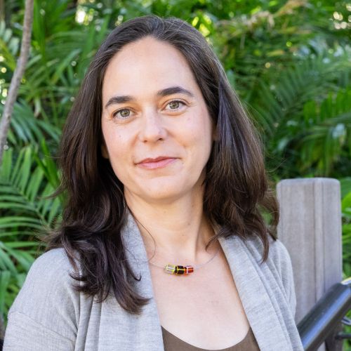
Research by a UC team that includes Dr. Lara Cushing suggests flooding could hit communities in San Francisco Bay Area and southern California.

Unless climate change is slowed significantly, more than three feet of sea level rise (SLR) is expected in California by the end of the century, potentially flooding communities that are currently home to more than 145,000 residents.
In addition to the threat to residential neighborhoods, new research suggests sea level rise will expose over 400 industrial facilities and contaminated sites in California, including power plants, refineries, and hazardous waste sites, to increased risk of flooding. Increased flooding can come with risks of contamination releases into nearby communities.
“There is a perception that coastal areas in California are wealthy and will be protected against sea level rise, but many of the areas that face the greatest threats are older, industrial communities, generally working class, and with many residents who are of people of color – who do not get a lot of attention when it comes to climate resilience strategies,” said Dr. Lara Cushing, the UCLA Fielding School of Public Health’s Jonathan and Karin Fielding Presidential Chair in Health Equity and an assistant professor of environmental health sciences.
Disadvantaged communities in California are more than five times more likely to live less than one kilometer from one or more facilities at risk of flooding in 2050, and six times more likely in 2100. Out of 10,544 hazardous facilities in low-lying coastal areas, 440 are projected to be at risk of at least one flood event per year by 2100. The majority of at-risk facilities are in five counties: Alameda, Contra Costa, and San Mateo counties in the San Francisco Bay Area, and Orange and Los Angeles counties in southern California.
“Prior research has focused on the risks of sea level rise to property,” said Dr. Rachel Morello-Frosch, University of California Berkeley School of Public Health professor in the Department of Environmental Science, Policy and Management. “Little work has holistically examined its environmental health implications statewide, particularly for environmental justice communities where industries utilizing hazardous chemicals are located.”
The project team, with scientists from UCLA’s Fielding School, the University of California, Berkeley’s Sustainability and Health Equity Lab, and Climate Central, is unveiling a new online mapping tool that shows the location of at risk sites and community demographics across coastal California:
- Statewide Launch + Briefing Tuesday, Nov. 30, 9:30-11:00 am
- Bay Area Regional Presentation Wednesday, Dec. 8, 5:30-6:00 pm
- Southern California Regional Workshop Tuesday, Dec. 14, 10:00-11:30am
- Central Coast Regional Workshop Wednesday, Dec. 15, 10:00-11:30am
The project is supported by the California Strategic Growth Council’s Climate Change Research Program with funds from California Climate Investments, and by the U.S. Environmental Protection Agency.
The UCLA Fielding School of Public Health, founded in 1961, is dedicated to enhancing the public's health by conducting innovative research, training future leaders and health professionals from diverse backgrounds, translating research into policy and practice, and serving our local communities and the communities of the nation and the world. The school has 761 students from 26 nations engaged in carrying out the vision of building healthy futures in greater Los Angeles, California, the nation and the world.
Faculty Referenced by this Article

Industrial Hygiene & Analytical Chemistry

Associate Professor for Industrial Hygiene and Environmental Health Sciences

Dr. Hankinson is a Distinguished Professor of Pathology and Laboratory Medicine, and of EHS, and Chair of the Molecular Toxicology IDP
